Yesterday I posted an image that I had captured from the NOAA-17 weather satellite on a pass over the bay area in the mid morning. Today, I did the same thing. Whereas yesterday the weather was reasonably clear, today, it was a bit cloudier and colder, and you can see the difference a day makes in the weather.
For these passes to the east, I really only get noisefree images for about six minutes: mostly when the satellite is above roughly 20 degrees. I need a higher antenna, and a better receiver and/or preamp to do much better. Still, I’m pretty pleased. Even with the odd sparks of noise, the image are kind of cool.
| Yesterday | Today |
|---|---|
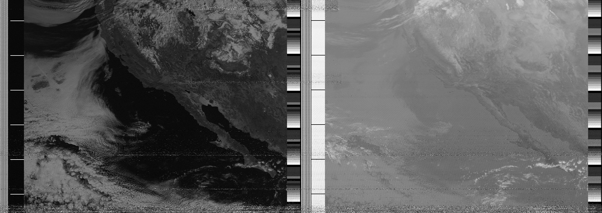 |
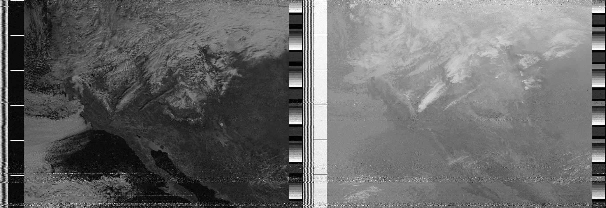
|
Addendum: I tried to create an animation of the two days by aligning them using GIMP. It’s not the greatest tool for this, but it sort of works. There is some kind of wavy distortion, because I suspect that the way that the APT transmission works doesn’t exactly preserve angles and the like. But you might like it.
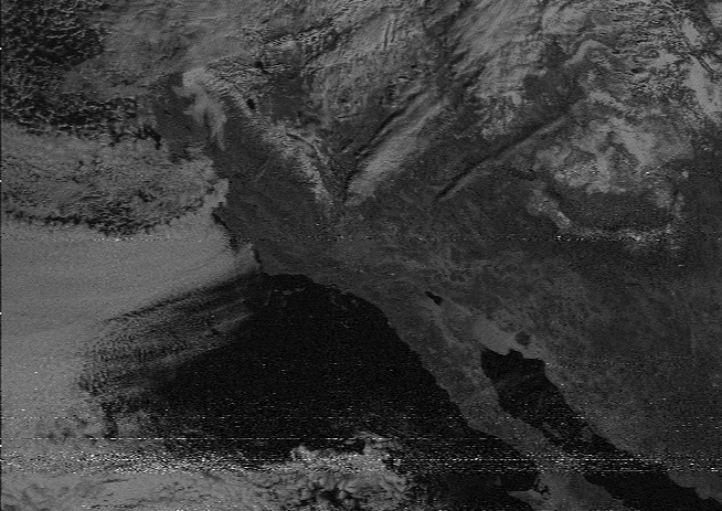
Click on the image above to see both frames alternating. Warning: it might nauseate you after a while of staring at it.