More from weather satellites…
Well, I didn’t record this off the air, but I did take the raw data from the NOAA 18 weather satellite (more on how to get this later), and converted it into a jpeg using a program of my own devising.
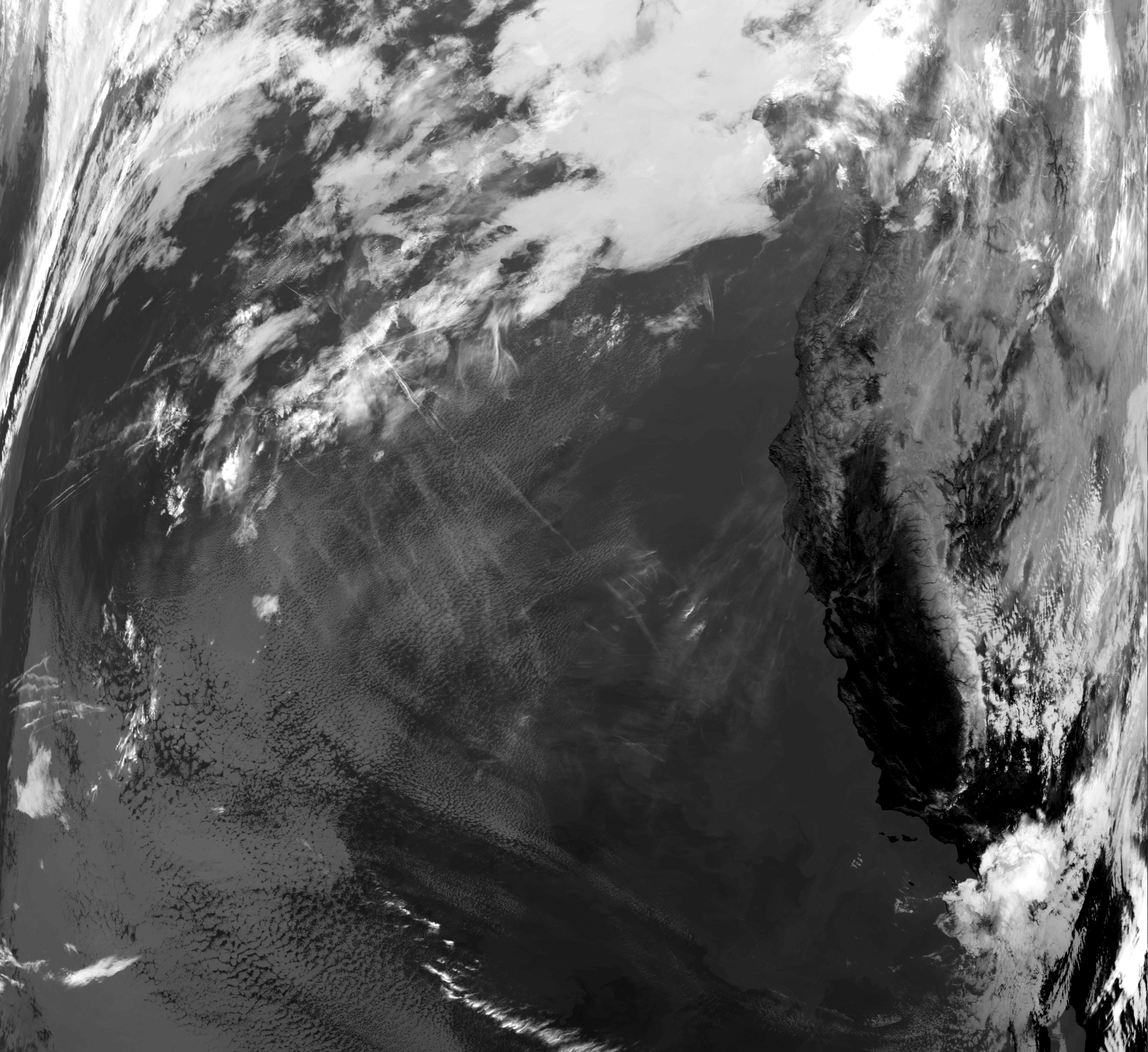
Addendum: The NOAA data contains five different channels of data. This one looks pretty good too, makes the earth stand out more. (Eventually, I’ll figure out what these things actually all are, but for now… look, pictures!)
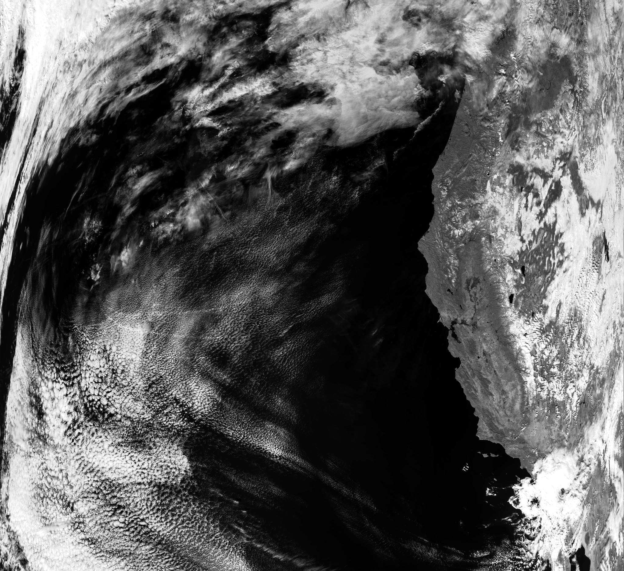
Nifty.
I recall burning three or four weeks of a sabbatical getting Saccade.com on the air with Wordpress. So much tweaking…