NOAA 17 this morning…
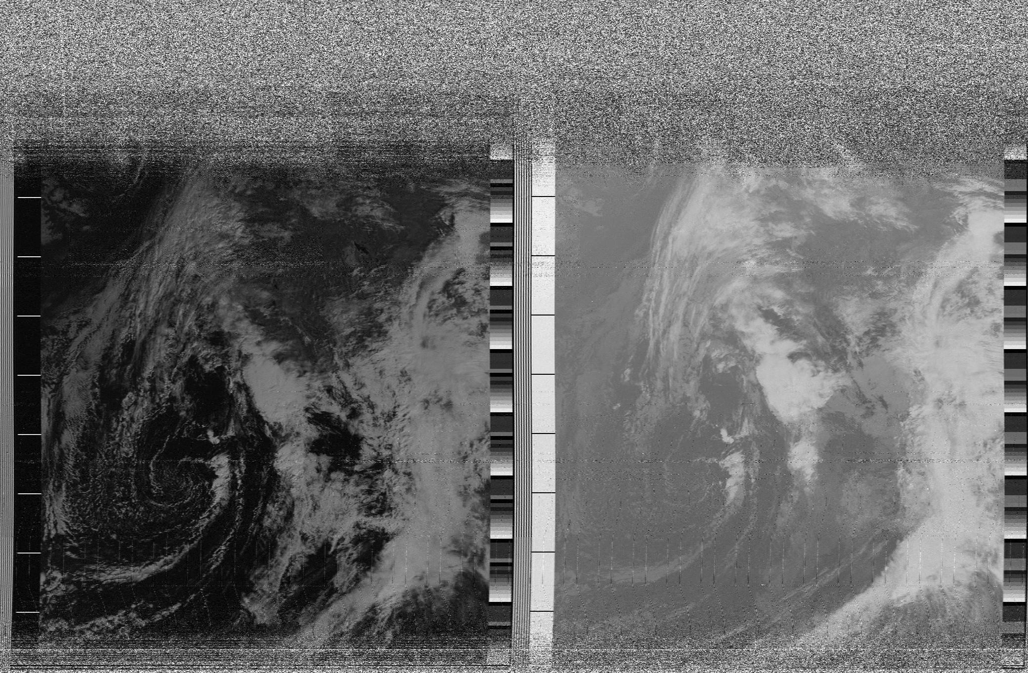
My blog indicates that I was decoding my first NOAA weather sat images about a year ago. I have made some progress on improving the images that I get out, but not alot. Witness this morning’s image, recorded beginning around 10:05 PST of NOAA 17 on 137.62 Mhz:

It seems pretty good, except for one thing: it is pretty hard to see what we are staring at underneath all the cloud cover. The bulk of the west coast should appear to the right of the midline of each image, and I suspect the visible portion covers roughly 45 degrees north to 20 or so degrees north at the bottom, but other than that, it’s pretty hard to see any real detail. I have begun to plan my next revision of this program, which will record timing information as well, which will allow me to draw continent outlines over the map, which definitely will be helpful, particularly on the night time passes which use primarily IR imaging.
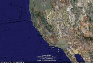
Addendum: With a bit of work, I can see the Great Salt Lake and Lake Tahoe. That, combined with my knowledge of the satellite orbit means that I can approximate the view with Google Earth:

It’s only a rough approximation, but it should be reasonably close.
I recall burning three or four weeks of a sabbatical getting Saccade.com on the air with Wordpress. So much tweaking…