Map Projections: How Projections Work
 I like maps. I thought I’d archive a couple of useful links for generating your own maps:
- First, a site to describe how to take latitude and longitude and project them into two dimensions. Contains lots and lots of formulas. Map Projections: How Projections Work
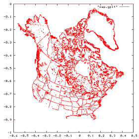
- Of course, to use those formulas you need some raw data. The CIA World Databank II has such data, and is public domain to boot. The linked site has them in an easy to parse textual format for easy manipulation.
Addendum: the wikipedia has links to these sites, which is how I found them.
Addendum2: I also found this website to be useful. It countains outlines for the continents, which I used to generate this animated gif of the earth’s rotation.