OpenStreetMap
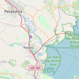
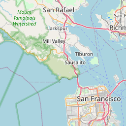
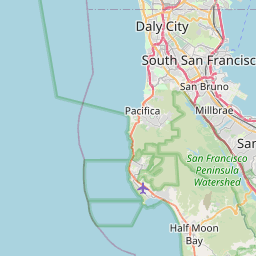
I’m interested in mapping and in open source, so it’s interesting to see projects which combine both. Such is OpenStreetMap, a project which not only produces software to use maps, but also relies upon user data to create maps that can be used freely. I heard about this a while ago, but today it came to my attention again, and I must admit: the data looks pretty good! Check out this map of the bay area:
|
|
|
Addendum: The map above just links to some tiles that are mantained on the OpenStreetMap website, and rendered by Mapnik, which is a toolkit for rendering maps. If you wanted to, you could render many different style maps using Mapnik: check out their documentation.
Addendum2: Tim O’Reilly wrote up some more about it.