Another weather satellite pass…
Well, during a road trip with my wife to San Diego and back, I managed to begin to type up my notes for an upcoming tutorial article (cross fingers) on reception and decoding of weather satellite imagery. I basically reimplemented what I had, stripping it down to its barest essence, and trying to make it easy to understand, yet still capable of creating good imagery. Oddly enough though, in the process, I inadvertently seemed to introduce some aliasing artifacts which I must admit, are puzzling me mightily. Oh well.
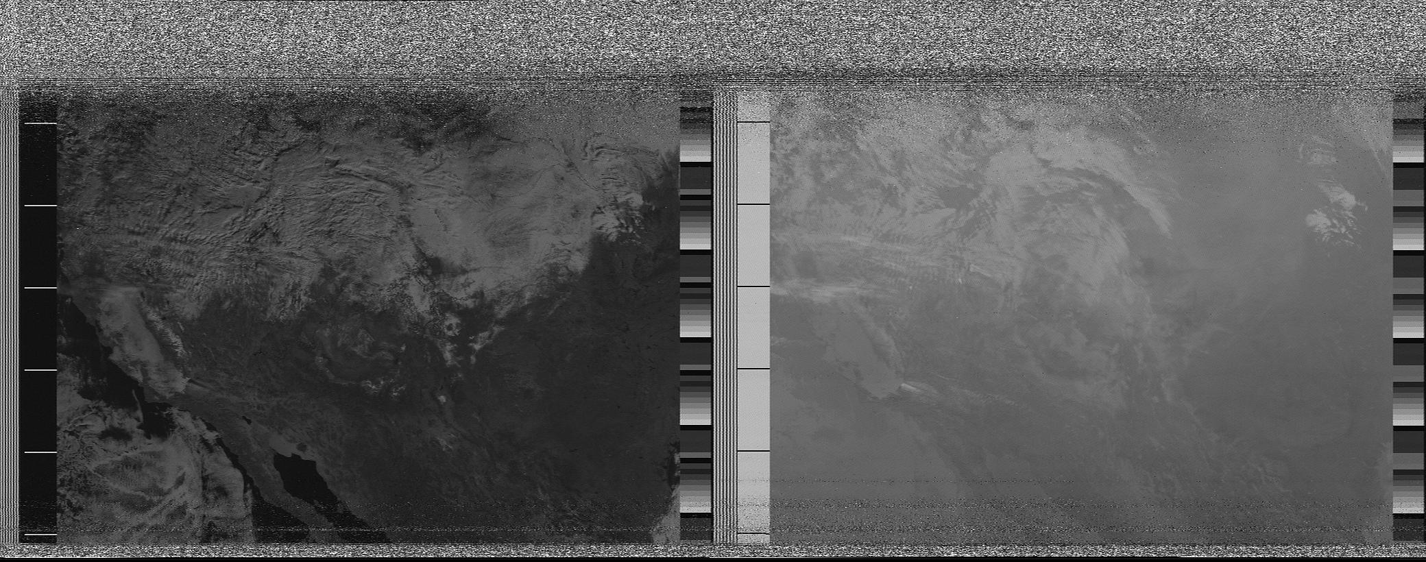
This morning I decided to try to record a low 25 degree maximum pass of NOAA17 that occurred to the east. It starts out fairly noisy because I have a pretty high horizon to the northeast. The first is my “advanced” decoder, which is about six times longer than the simpler decoder I wrote.
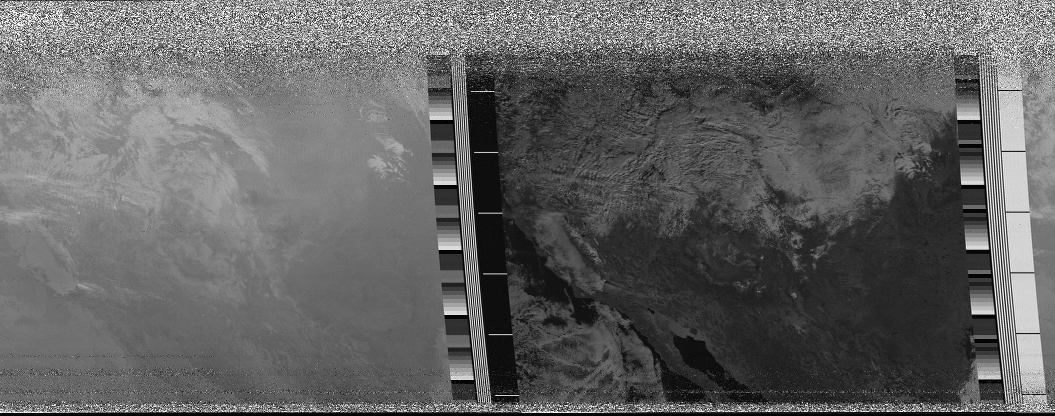
The second is the same data file, processed with my “simple”, easy-to-follow decoder. The only serious feature it is lacking is the sync detection and rectification, which as soon as I can figure the simplest way to add, I’ll try to get in. The simple version is two pages of code, not including the data for the filter tables.


I recall burning three or four weeks of a sabbatical getting Saccade.com on the air with Wordpress. So much tweaking…